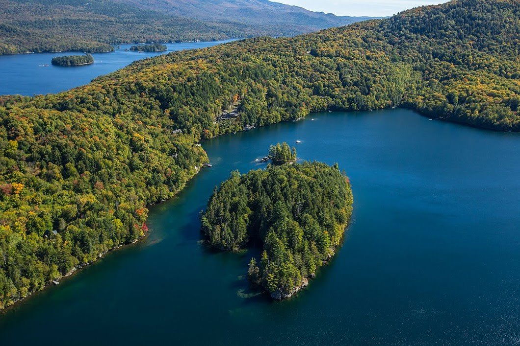
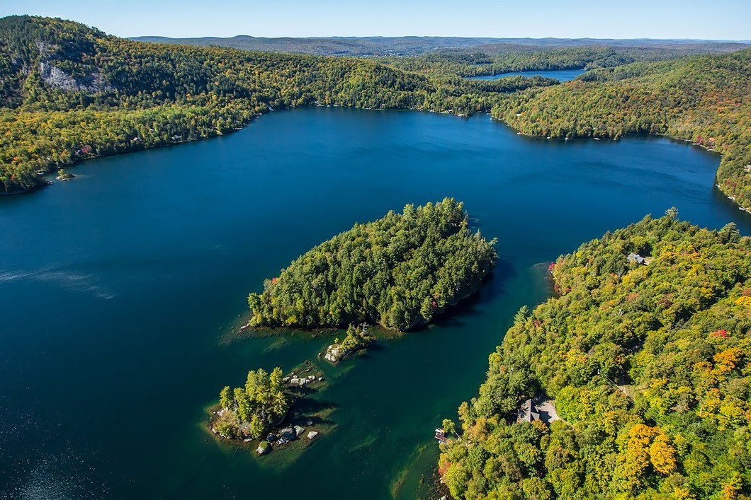
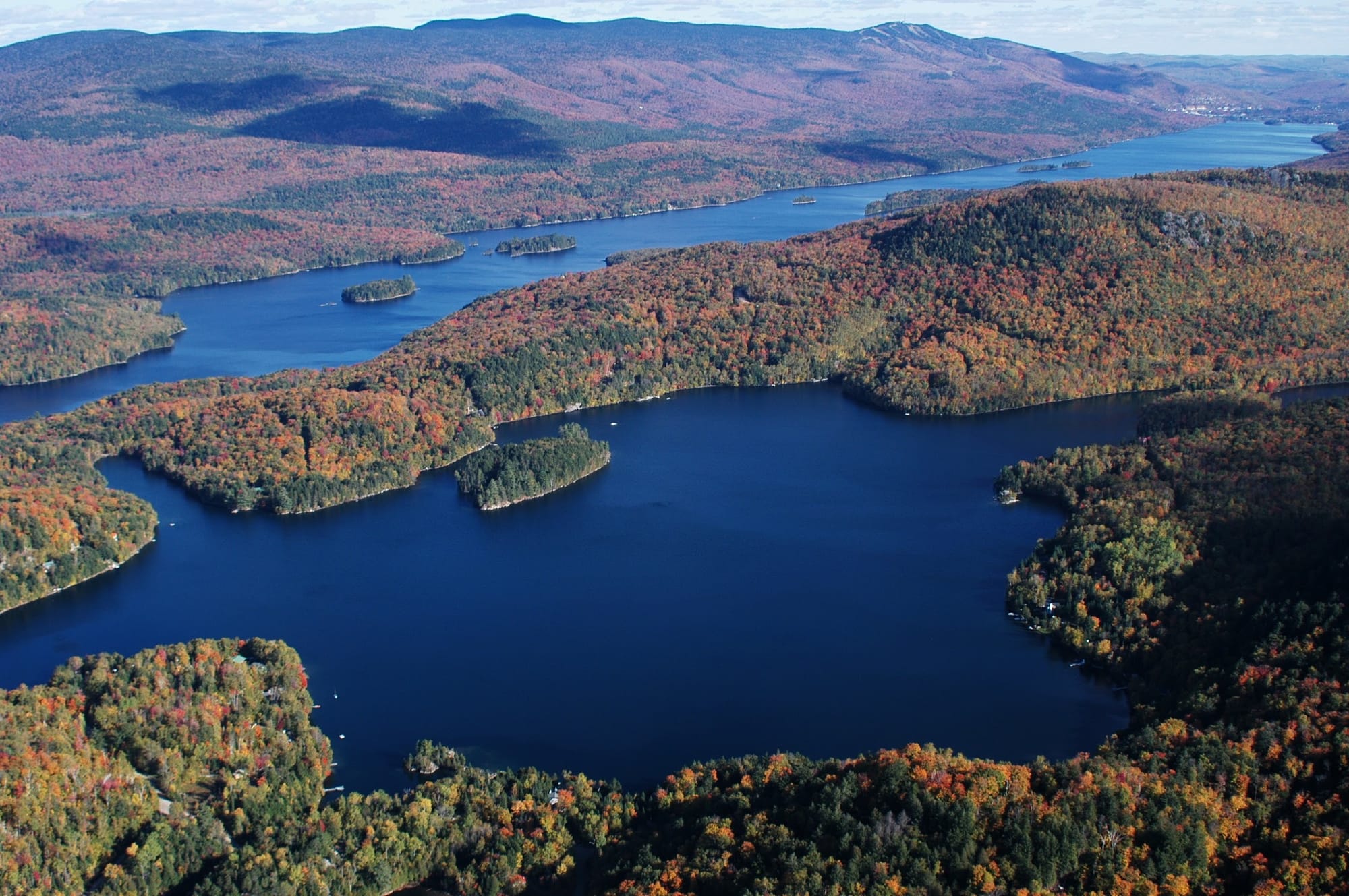
Bienvenue - Welcome Domaine de la Tranquillité Un quartier privé sur les rives du Lac Tremblant et du Lac Gervais A private community on the shores of Lac Tremblant and Lac Gervais

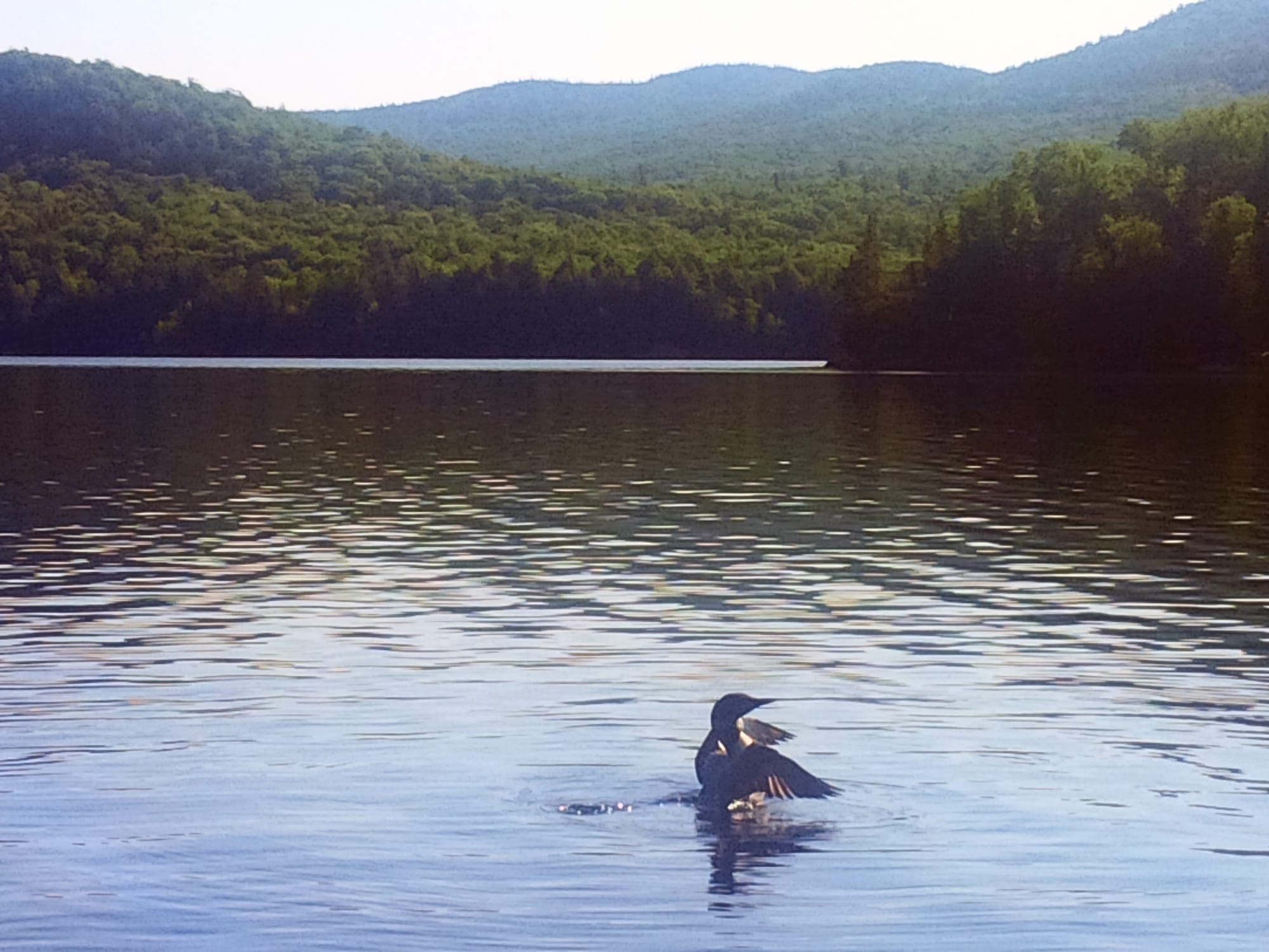
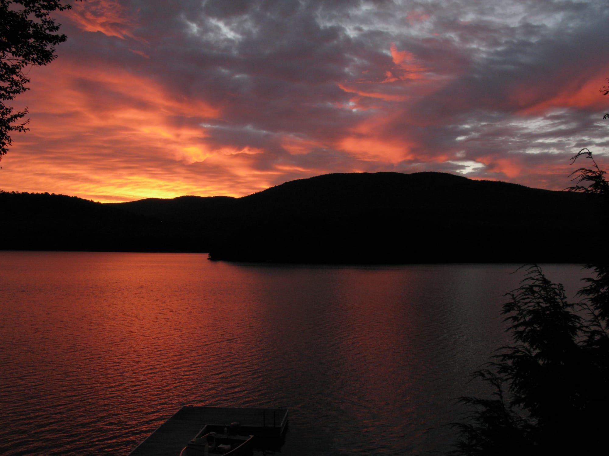
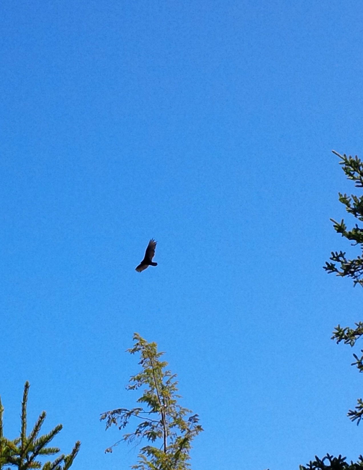
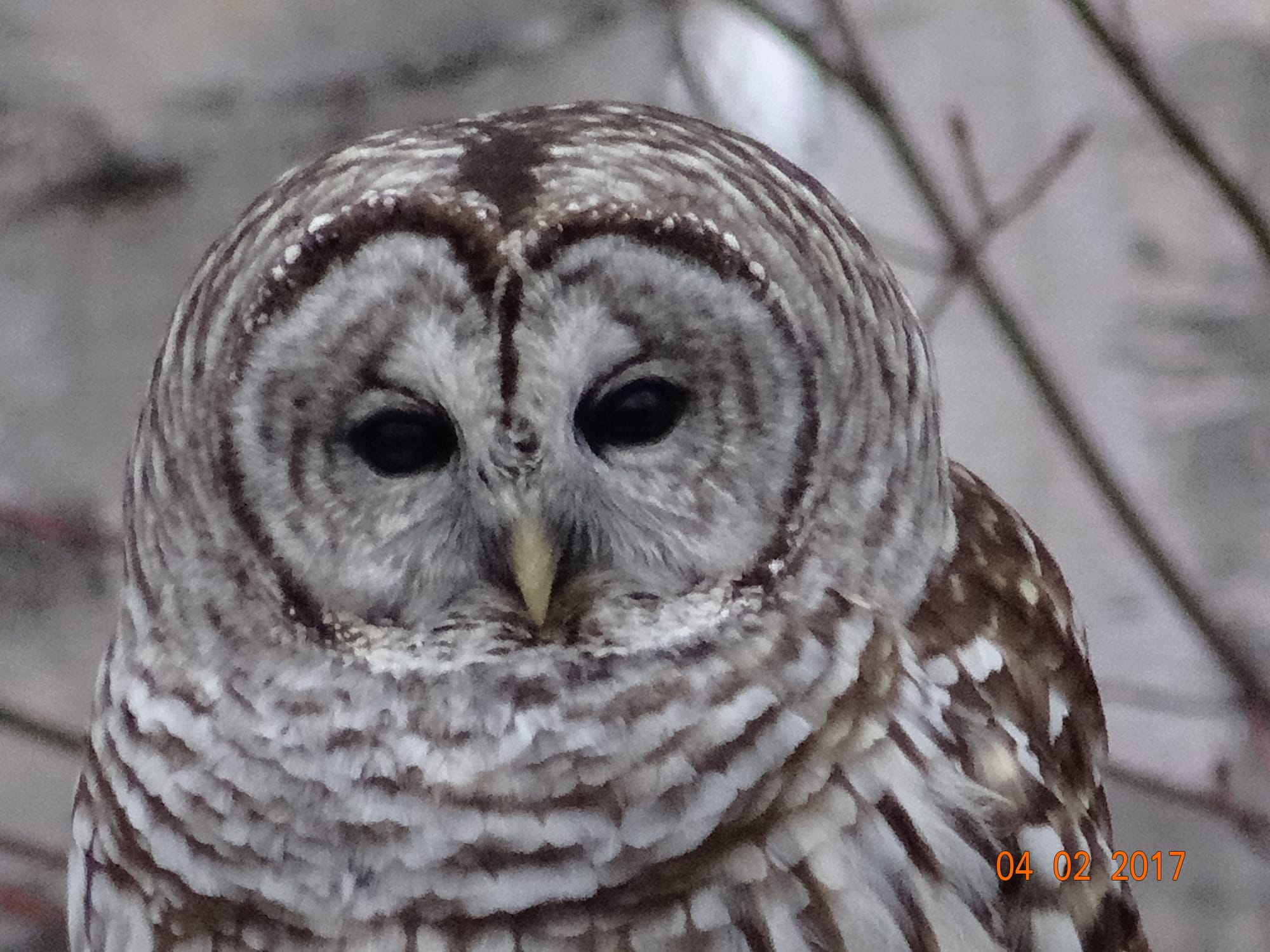
.... where the loudest sounds are from loons, ducks and owls ...

Domaine de la Tranquillité is the most private and ecologically preserved neighbourhood in the Mont-Tremblant region. Surrounded by Lac Tremblant and Lac Gervais, tall mountains and wooded lakeside parks, the 31 waterfront lots and 25 interior lots are accessed through the entrance gate on Chemin de la Tranquillité in the Municipality of Lac-Tremblant-Nord. Each lot is at least four acres in size - which is 2 to 10 times larger than typical lots in Mont-Tremblant.

The Domaine was created in 1975 by New Jersey visionary John Best. A pathway in the private park of Domaine de la Tranquilité is named ''La Voie de John - John's Way'' to recognize the major contribution and vision of this individual.

All roads within the Domaine are private. Access to the Domaine is limited to residents and their guests.

The Domaine is managed by the Association Domaine de la Tranquillité, a non-profit corporation. The board of directors is elected by the owners. Each member of the board is a volunteer. Annual dues are used to pay for the maintenance of the 7 km of roads and laneways in the Domaine.

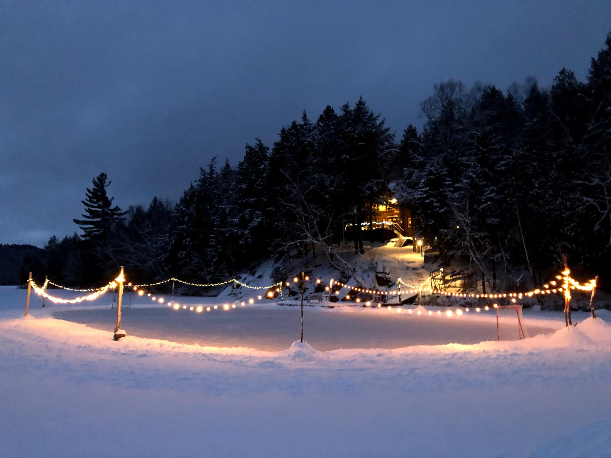
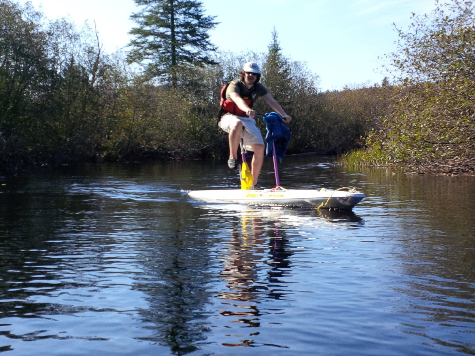
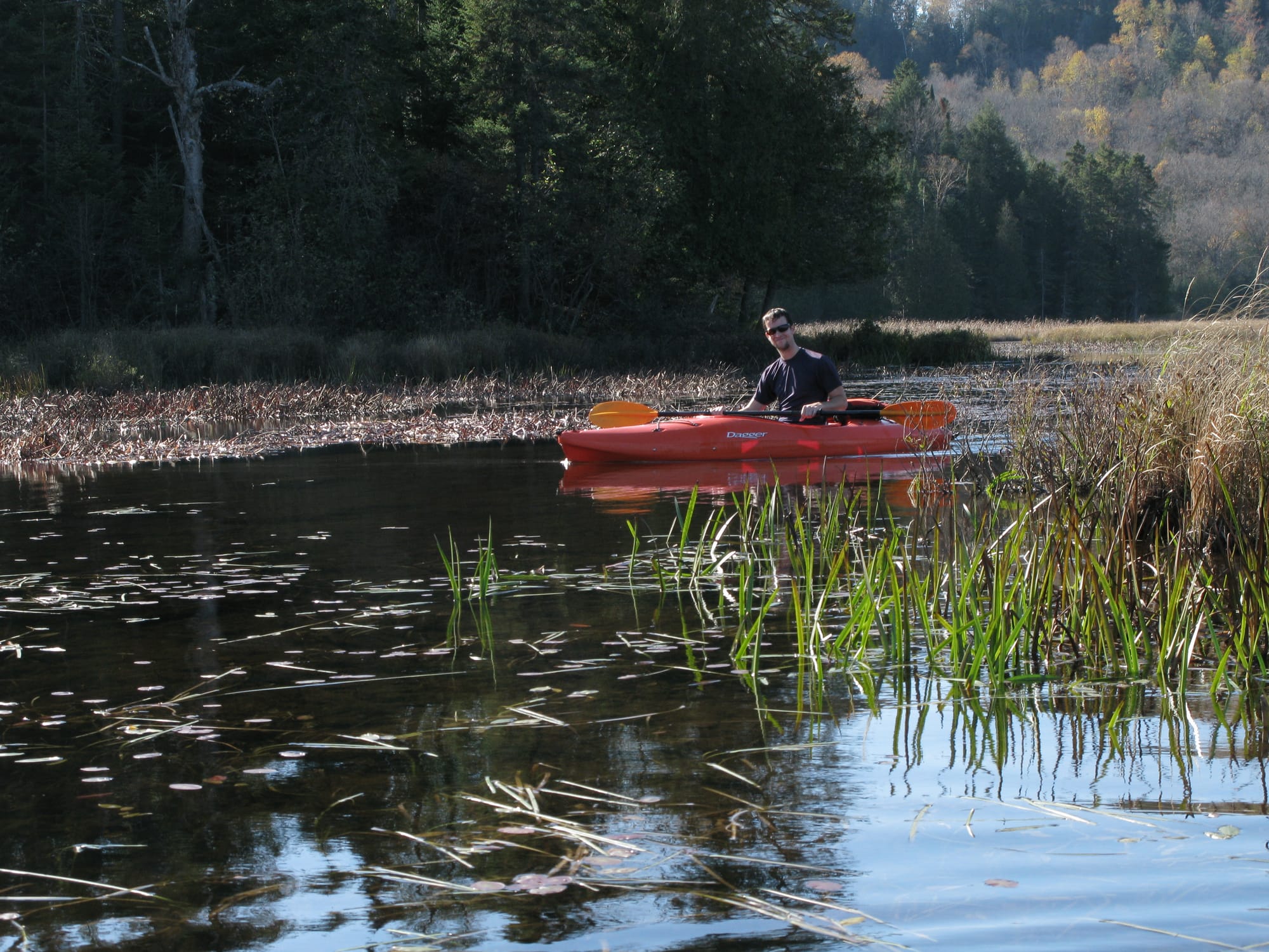
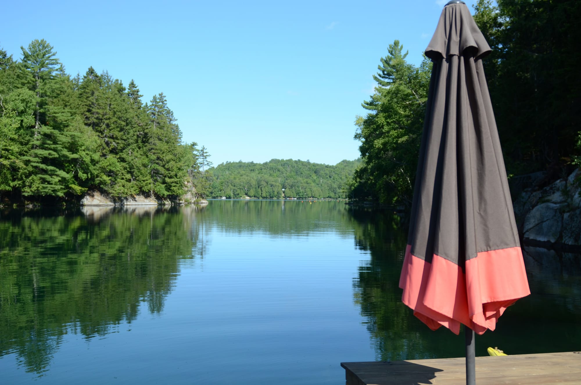
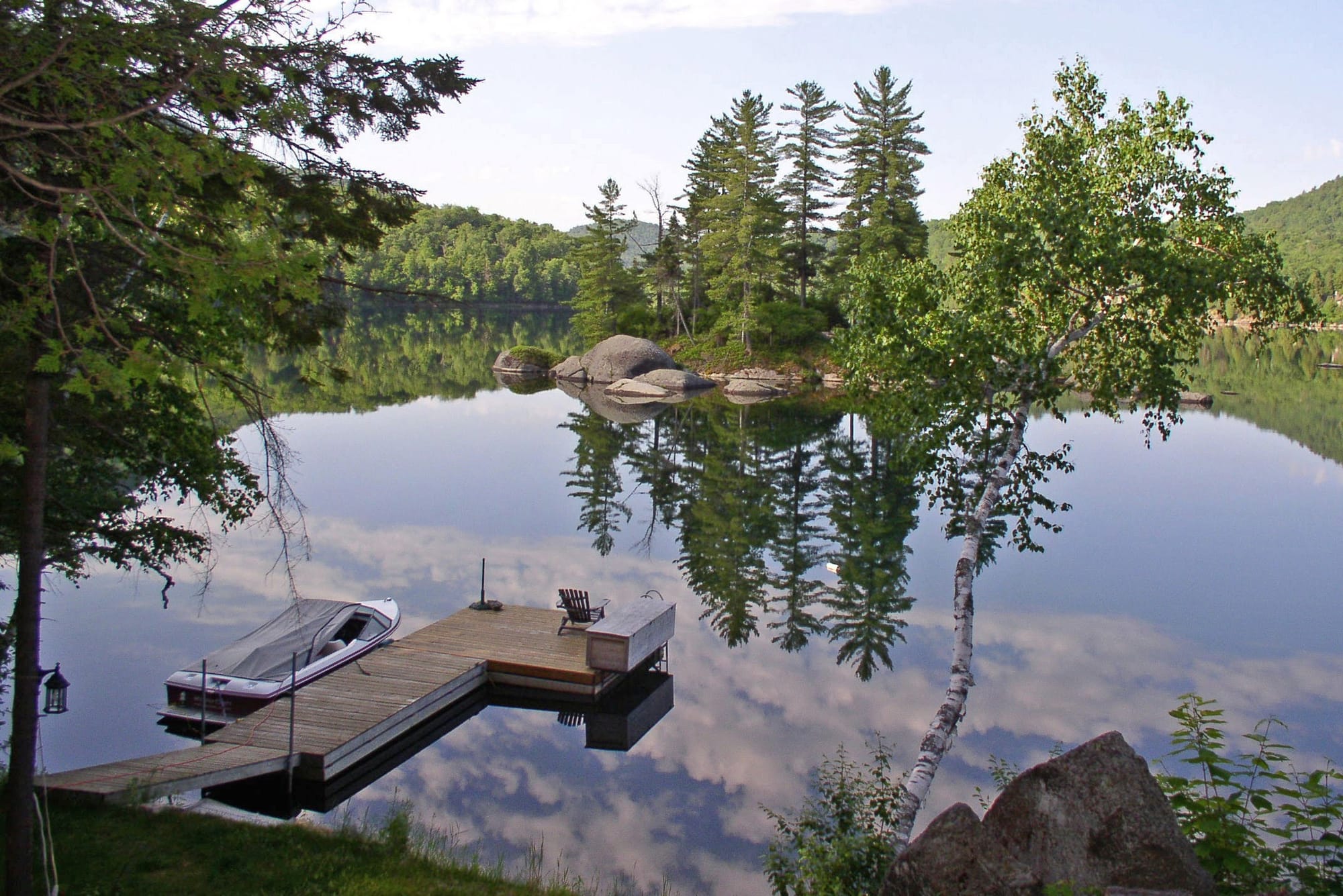
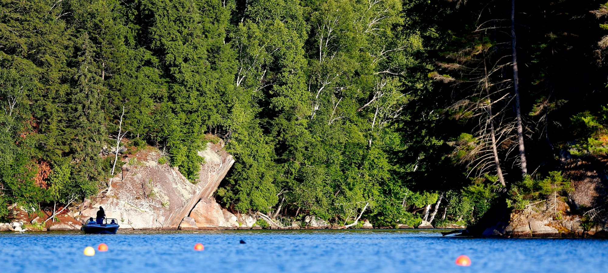
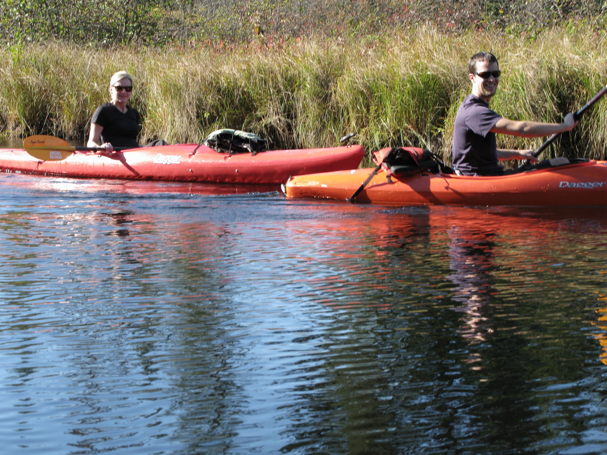
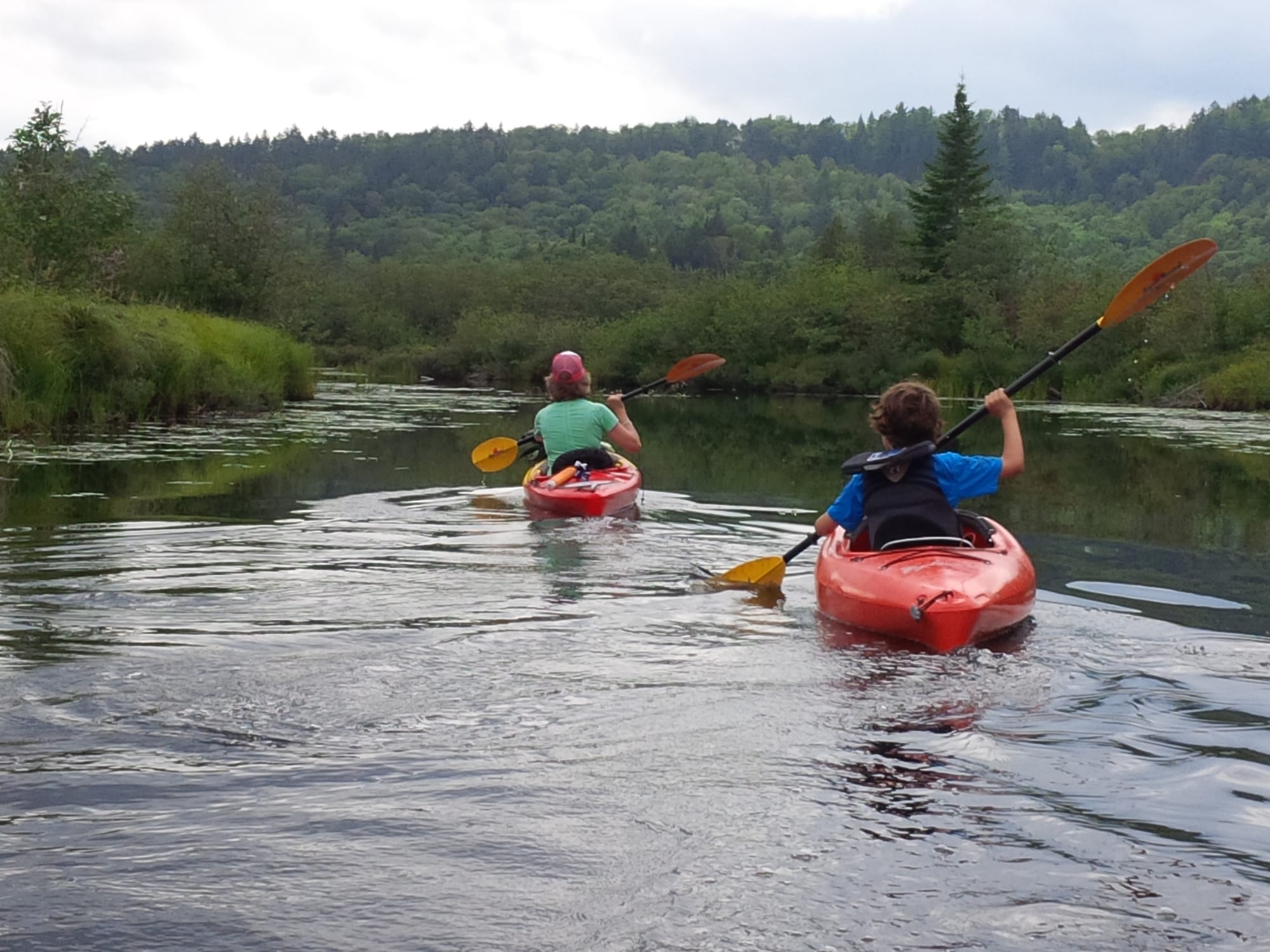
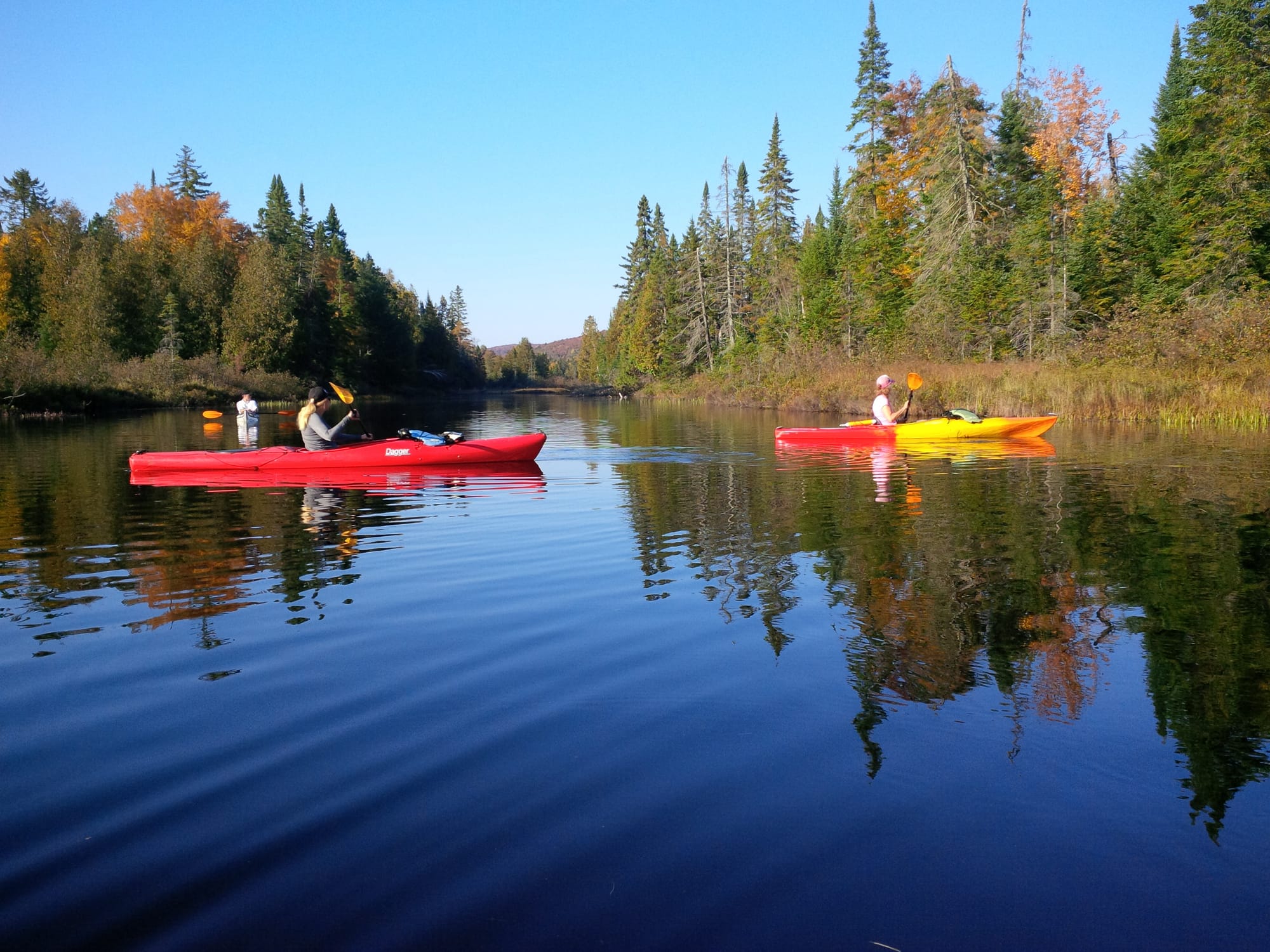
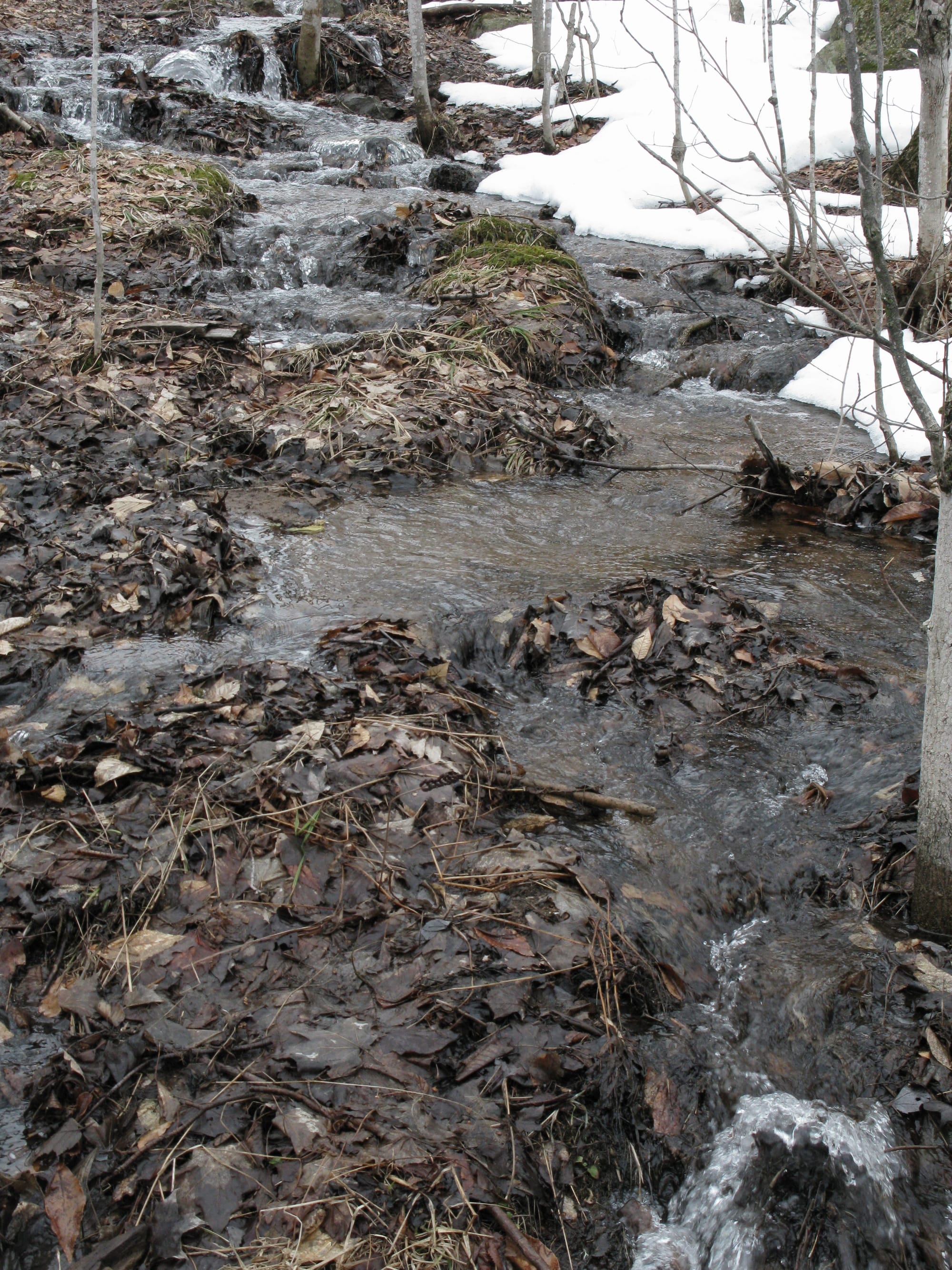
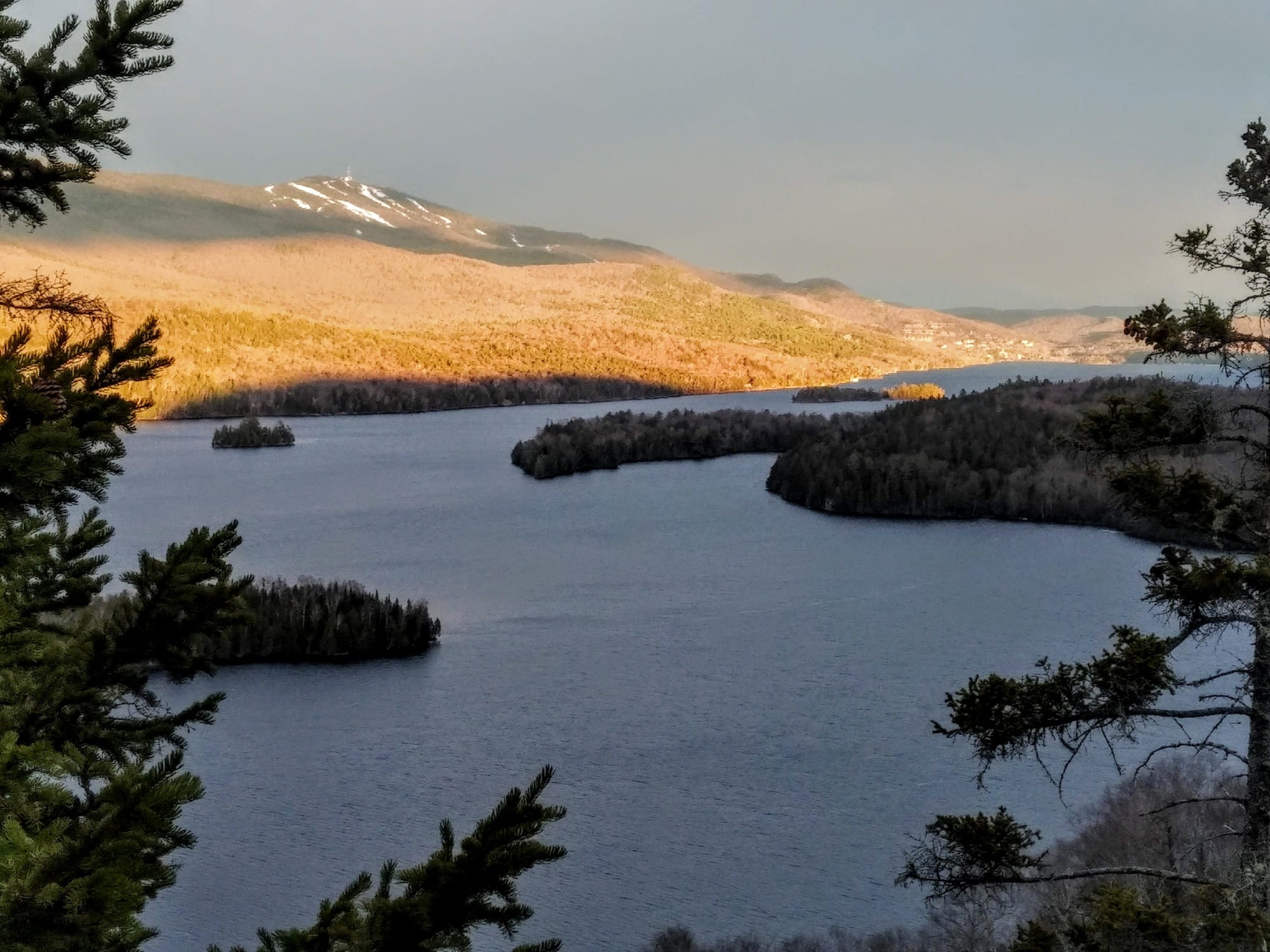
The Domaine de la Tranquillité Private Park connects Lac Tremblant and Lac Gervais and has swimming areas, docks, kayak, canoe and paddle board racks, and picnic tables.

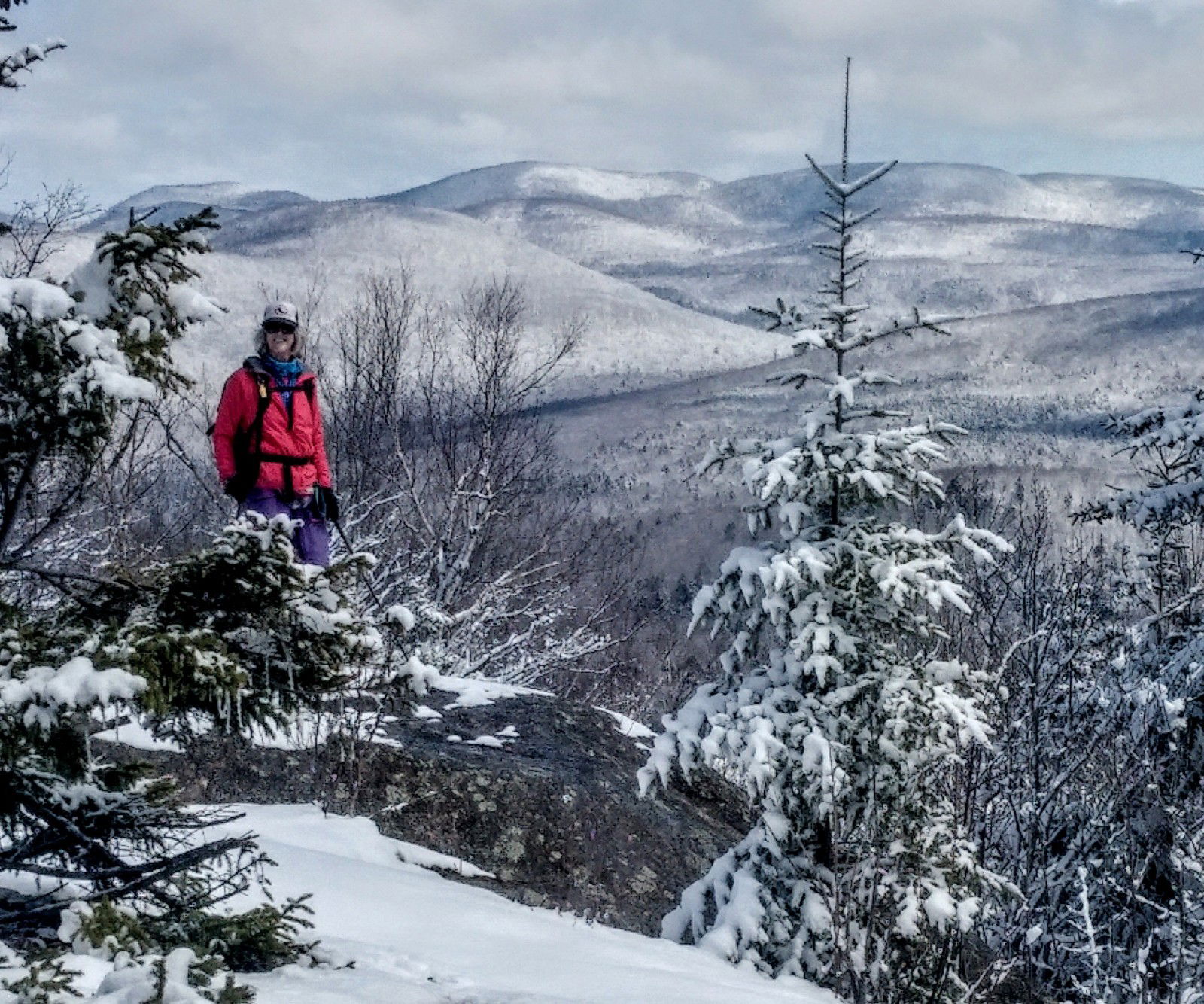
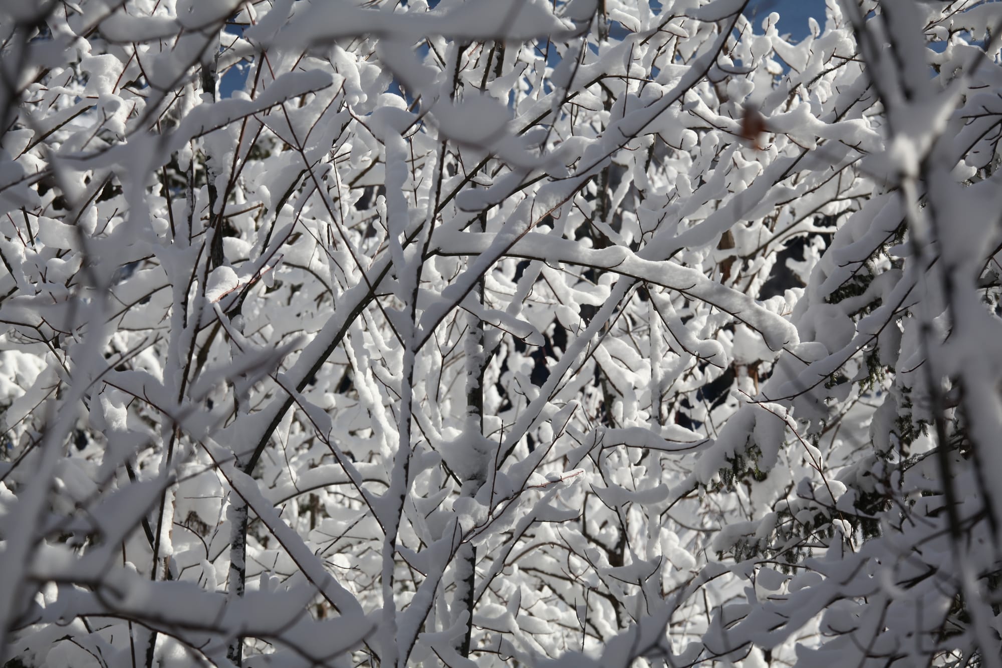
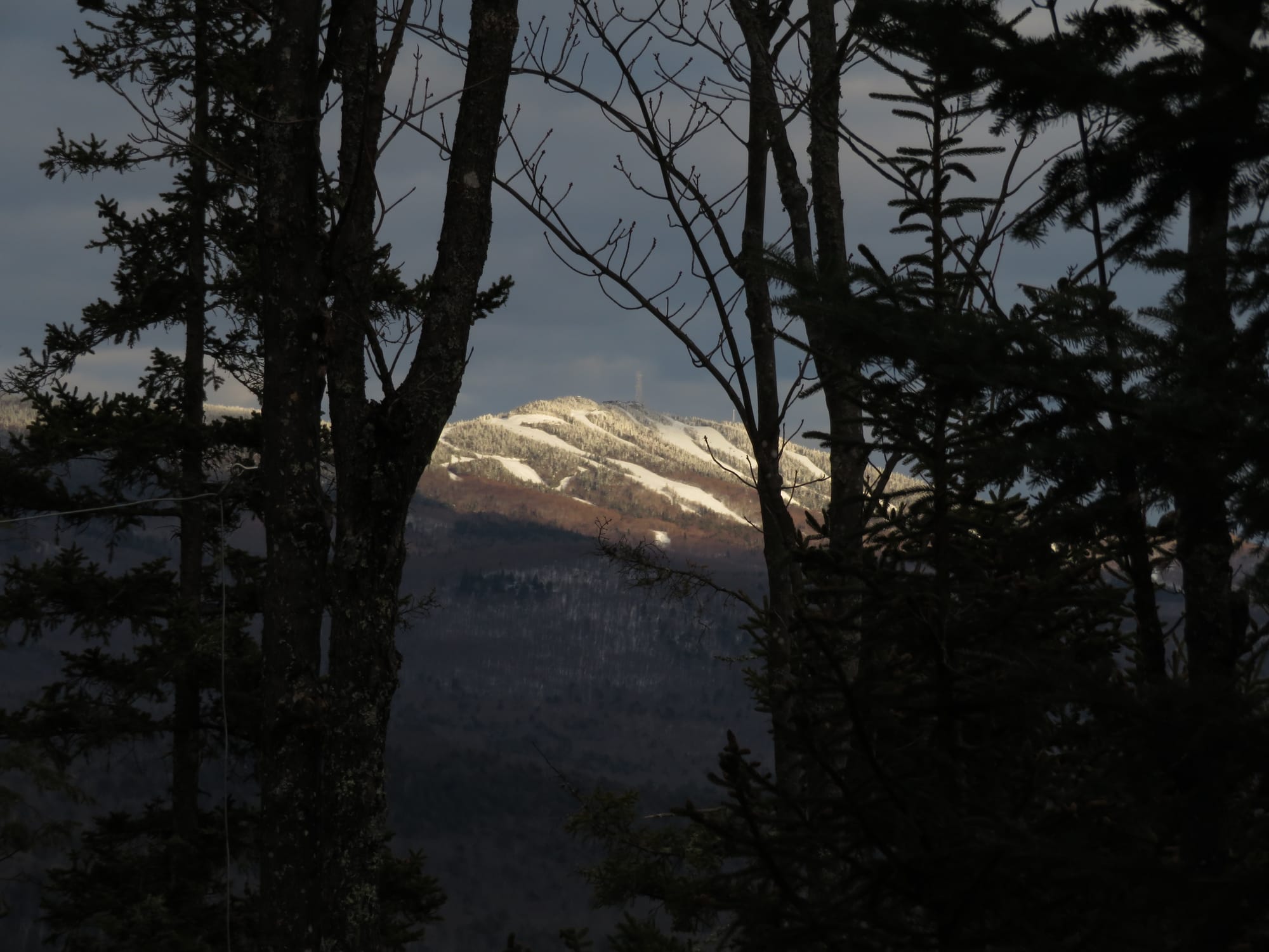
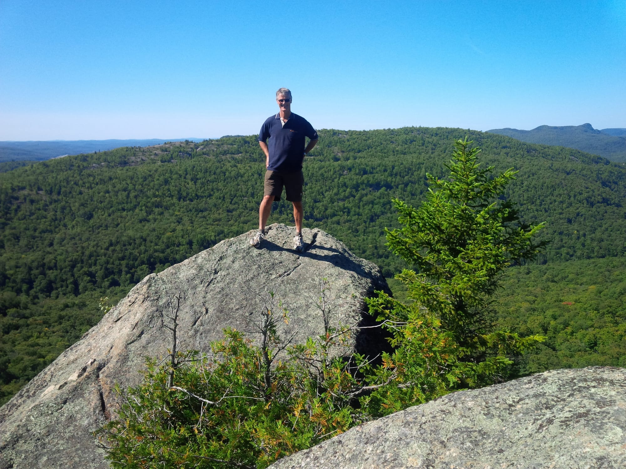
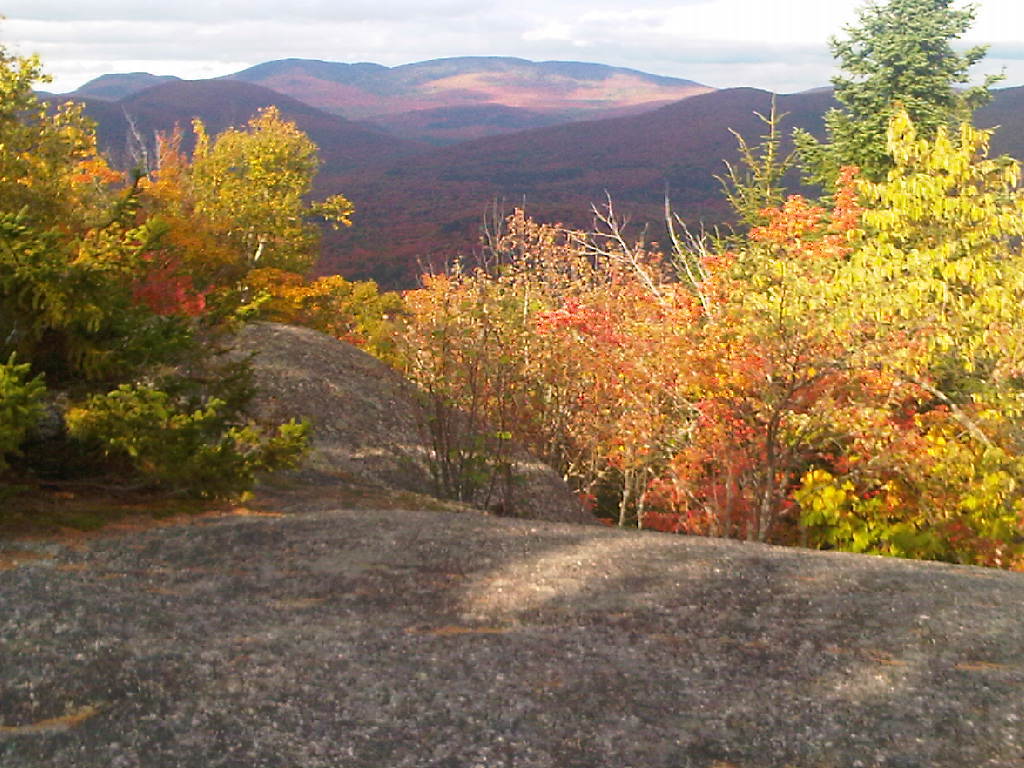
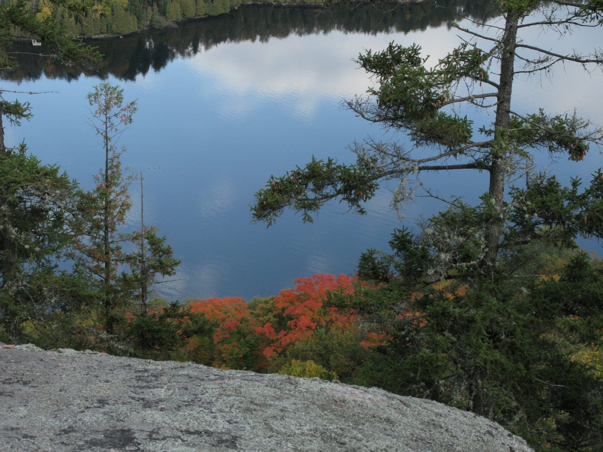
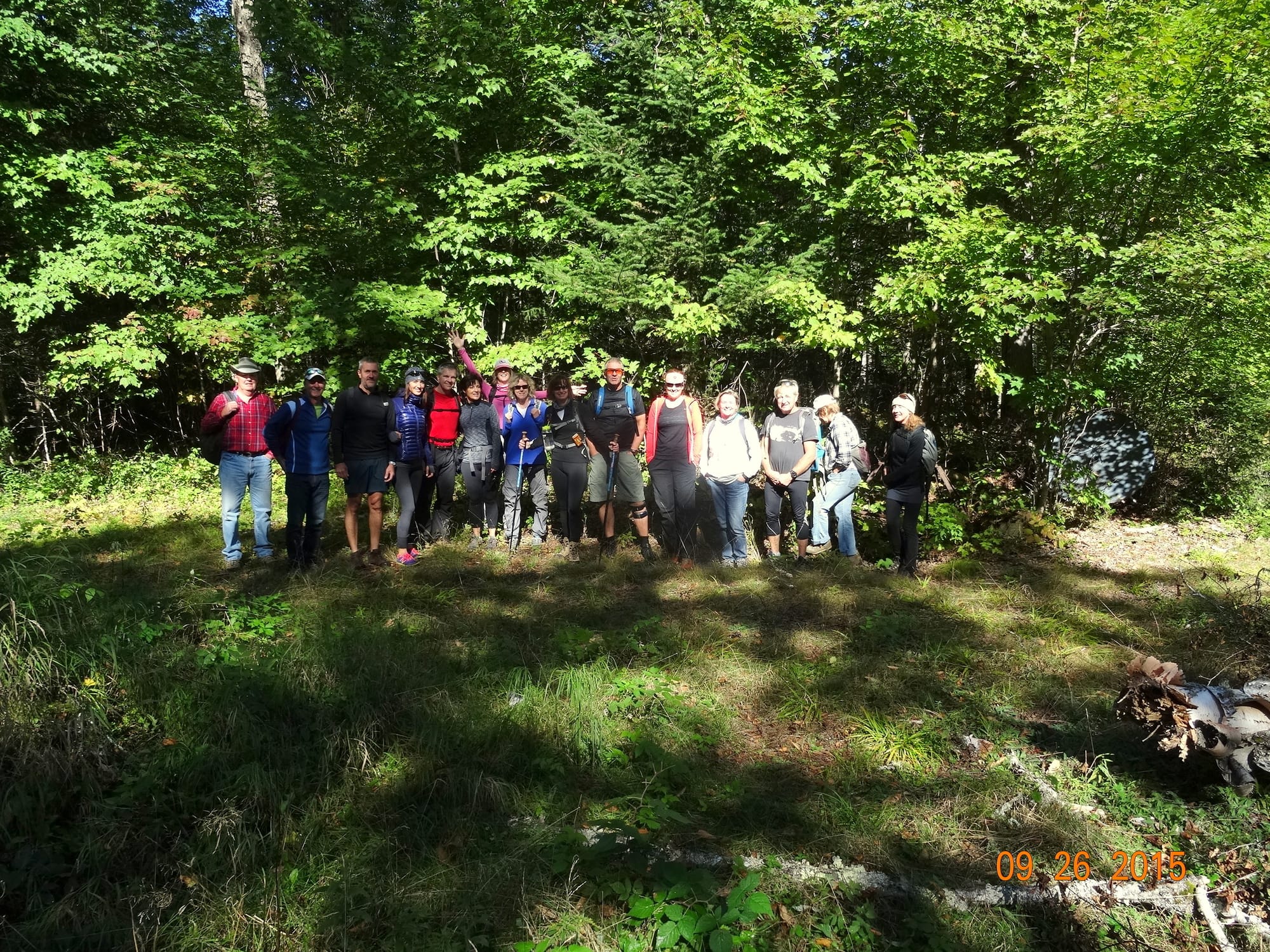
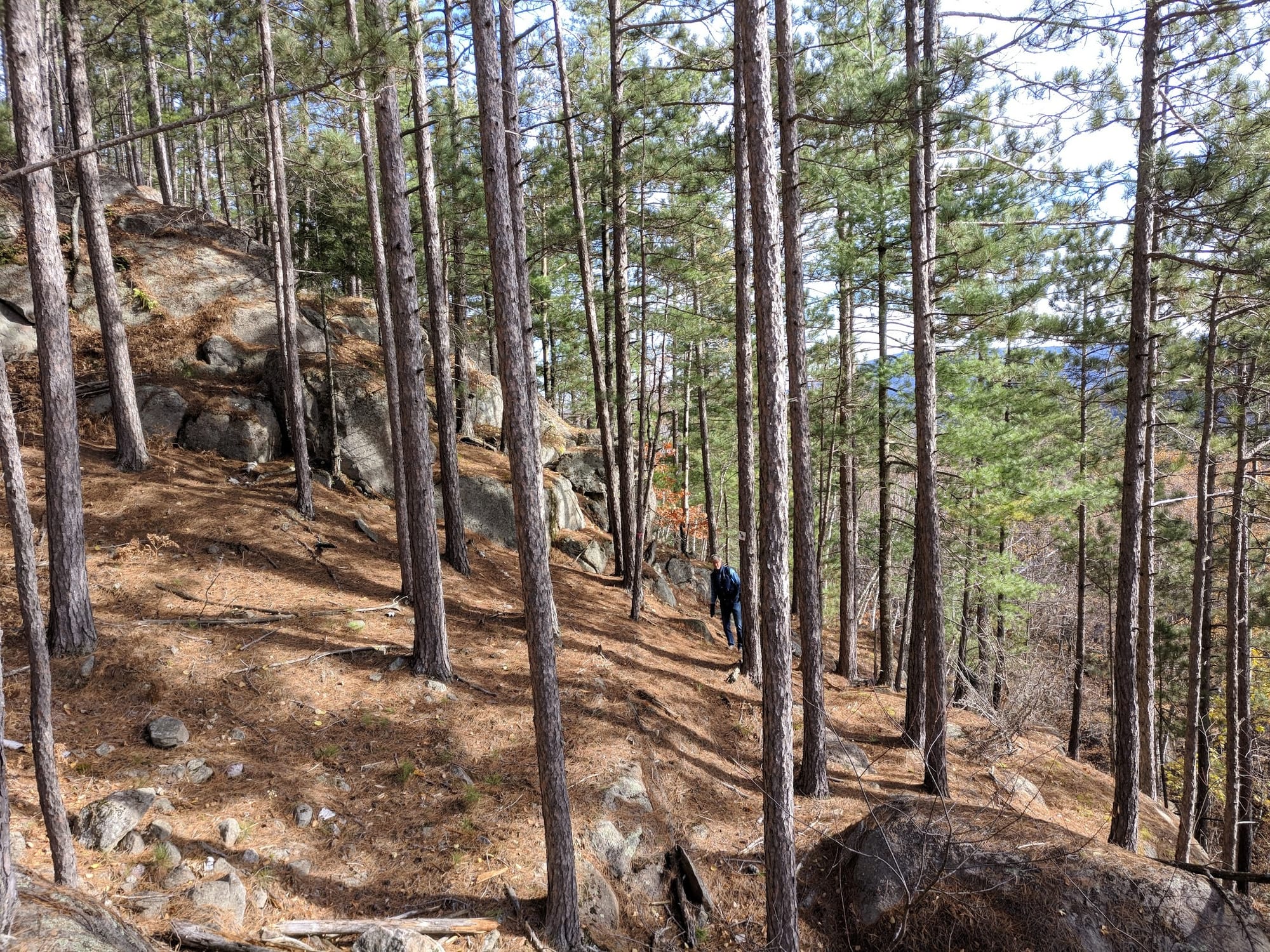
There are more than a dozen hiking trails accessible by foot from the Domaine. These trails are spectacular, offering splendid views of the lakes, mountains and the valleys of the Rivière Rouge and Rivière Cachée. These trails are ideal for snowshoeing in the winter. Residents and their guests can park at the northwest end of Chemin de la Baie des Ours or at the entry gate on Chemin de la Tranquillité to access the trails.

The privacy of the Domaine is ensured by its entry gate on Chemin de la Tranquillité. But the Domaine is also close to all the community amenities offered in the Mont-Tremblant region. From the Domaine entry gate, approximate driving times are as follows:

Service Centers:
  • Lac-Tremblant-Nord Municipality Office - 15 minutes ( https://lac-tremblant-nord.qc.ca/ )
  • Mont-Tremblant Village at Lac Mercier - 15 minutes
  • Labelle Village - 10 minutes
  • La Conception Village - 10 minutes
  • Mont-Tremblant Town - 20 minutes
Ski and Resort Center
  • Mont-Tremblant Resort - 20 minutes ( https://www.tremblant.ca/ )
Air Transportation
  • Mont-Tremblant Airport - 25 minutes ( https://fr.aeroport-tremblant.ca/ )
Outdoor Activities
  • Lac-Tremblant-Nord Hiking Trails - click on the ''Trails'' tab for more information
  • Biking: Le Petit train du Nord - 3 minutes ( https://ptittraindunord.com/labelle-val-morin/ )
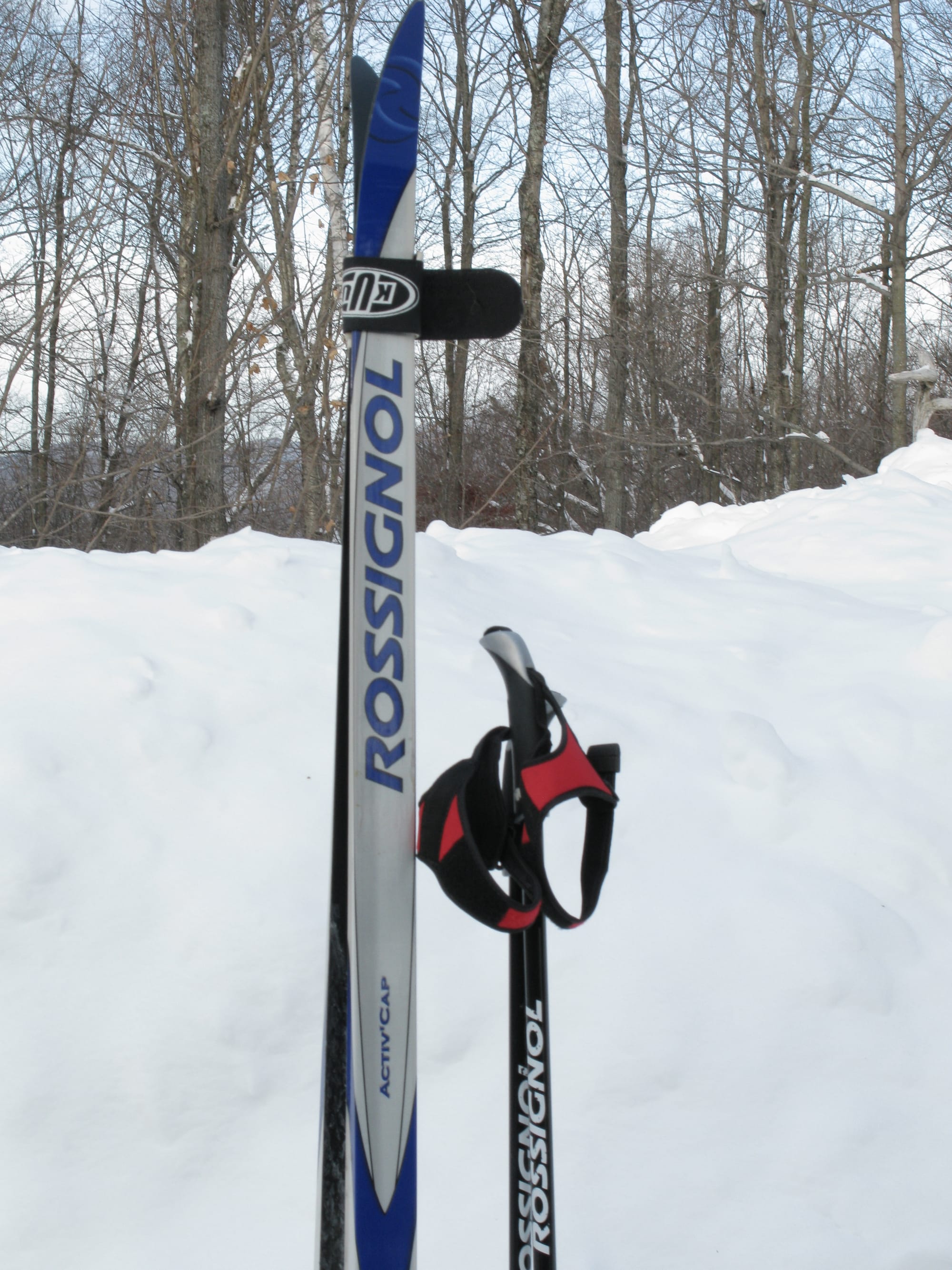
  • Cross-country skiing: La Conception Station -10 minutes ( https://ptittraindunord.com/labelle-val-morin/ )
  • Rock climbing: Mont La Tuque - 2 minutes ( https://www.mountainproject.com/area/108162746/lac-gervais-mont-la-tuque )
  • Rock climbing: La Montagne d'Argent - 15 minutes ( https://www.montagnedargent.com/ )
  • Cross-country skiing: Club de ski de fond de Labelle - 15 minutes ( http://www.skidefondlabelle.org/sentiers.html )
  • Mountain biking: Sentiers de Mont-Tremblant - 15 minutes ( https://www.velomonttremblant.com/ )
  • Pleasure boats - Daily launching of your boat at the Lac Tremblant marina - 20 minutes ( https://www.preservationltn.ca/fr/membres/ )
  • Down the Red River by kayak, paddleboard or canoe - 10 minutes ( https://municipalite.labelle.qc.ca/services/environnement/acces-au-plan-eau-et-lavage-des-embarcations-1 )
Restaurants
  • Resto Pub Auberge 1939 in La Conception - 10 minutes (grills, chic pub restaurant) - https://www.auberge1939.com/
  • Restaurant LaBelle Pirate in Labelle - 10 minutes (bistro-pub and pizza) - https://labellepirate.com/
  • Le Bar du ptit train du nord in Labelle - 10 minutes (burgers and fries) - https://www.facebook.com/p/Restobar-Ptit-train-du-Nord-61555550180727/
  • Le Bistro in Bel-Air Tremblant - 10 minutes (French cuisine) - https://bistrobelairtremblant.com/fr/
  • L'Ekki Sushi in Bel-Air Tremblant - 10 minutes (Japanese cuisine) - https://ekkisushitremblant.com/fr/
  • Ital Deli in Mont-Tremblant village - 15 minutes (Italian cuisine) - https://www.italdelliristorante.com/
  • La Sandwicherie in Mont-Tremblant village - 15 minutes (homemade soup/salad/sandwich, coffee) - https://www.lasandwicherie.ca/
  • La Petitie Cachée - near Mont-Tremblant village - 20 minutes (French inspiration, Mediterranean cuisine, local products) - https://www.petitecachee.com/
  • Au Coin - in the Mont-Tremblant village - 15 minutes (resto-pub) - https://www.hotel-monttremblant.com/resto-pub/
Notice: While we strive to provide up-to-date and accurate information on our website, errors or omissions may occur. Accordingly, we provide no warranties or make any representations as to the accuracy or reliability of any information contained on this or any other website.

Saved

Eileen Bridges

Treasurer

Hugues Gagnier

Vice-president

Russell Goodman

President

Marie-Elaine Lépine

Administrator

Steve Zimmermann

Administrator

The Portes de l'Enfer Loop

This trail consists of a loop around the top cliffs of Les Portes de l'Enfer. Offering splendid views of Lac Tremblant, the Rivière Cachée marshlands, the Nez de l'Indien, the Montagne Verte and the high peaks of Mont Tremblant, this trail is a favorite of Domaine residents. According to legend in this area, there is only one way to reach the top of Les Portes de l'Enfer and one way to get down. Go try it! IMPORTANT: Please do not save any of these trails on AllTrails, Strava or other public sites. Start: At the northwest end of Chemin de la Baie des Ours Round trip: 5.5 km Difficulty: Difficult Trail markings: Starting at the northwest end of Ch del la Baie des Ours, turn right onto the road towards Domaine de la Grande Ourse and head down the hill. The trailhead is on the left side of the road, about 250 meters after the bridge. There is a small stone cairn to mark the start. Take the trail, as it climbs up a steep hill and you will soon see turquoise markers. Follow the turquoise markers for about 200 meters until the intersection with the Rivière Cachéé trail. Turn right onto the Rivière Cachéé trail and follow the white markers. This trail climbs a steep hill next to an impressive cliff. At the top of the hill, there is another intersection. Turn right and follow the orange markers for the Portes de l'Enfer trail. Once you reach the viewpoint at the top, you can continue straight ahead to do the loop, still following the orange markers. There is a perilous descent (especially in winter) and the trail remains spectacular throughout. After a little over a kilometer, you will arrive at an intersection with the Rivière Cachée trail and Petit Lac du Mont Gorille trails. Turn left and follow the white markers to complete the loop. You must exit by the same route taken at the start.

Mont Gorille via Petit Lac du Mont Gorille

This trail is moderately difficult up to Petit Lac du Mont Gorille, but after that, the trail is extremely difficult - steep, rocky, muddy, and often slippery and treacherous as you climb the last 200 vertical metres to join the Sentie national au Québec, near the viewpoint at the top of Mont Gorille. But the rewards are worth it. The huge mossy boulders, fixed rope sections and cliff views near the summit are superb attractions for experienced hikers. In winter, it is too dangerous to continue past Petit Lac du Mont Gorille. IMPORTANT: Please do not record any of these trails on AllTrails, Strava or other public sites. Start: The northwest end of Chemin de la Baie des Ours. Round trip: 8.8 km Difficulty: Very difficult Trail markings: Starting at the northwest end of Ch del la Baie des Ours, turn right onto the road towards Domaine de la Grande Ourse, and go down the hill. The trailhead is on the left side of the road, about 250 meters after the bridge. There is a small stone cairn to indicate the start. Take the trail, which climbs up a steep hill, and you will then start to see turquoise trail markers. Follow the turquoise markers for a little over 200 meters until the intersection with the Rivière Cachée trail. Turn right and follow the white markers for about a kilometer. At the top of a pass, you will see the first intersection with the Portes de l'Enfer trail. Continue straight ahead and follow the white markers for another 600 meters until the second intersection with the Portes de l'Enfer trail. Turn left and follow the deep blue sky markers for about 1.8 kilometers towards Petit Lac du Mont Gorille. When you reach Petit Lac du Mont Gorille, turn left and follow the white markers to reach the viewpoint at the top of Mont Gorille. The trail between Petit Lac du Mont Gorille and the summit is extremely steep and difficult. There are ropes to help you climb the more difficult sections. When the trail is wet, it is very slippery and dangerous. Do not use this trail in winter.

Cachée River and Bear Falls

This trail provides access to the Chutes à l'Ours and the Pont Fortin on the Rivière Cachée. This trail is also the access route to the trails of Les Portes de l'Enfer, and the two trails to Mont Gorille. The trail at Chutes à l'Ours and Pont Fortin is rated moderate. The end of the trail is in the Parc National du Mont Tremblant. So bring your park pass. Residents of Domaine de la Tranquillité can get a free annual pass from the Municipality of Lac-Tremblant-Nord administration. Several trails in the National Park are close to Pont Fortin. Point of interest: Exploring the Rivière Cachée by kayak or canoe is a unique experience. IMPORTANT: Please do not record any of these trails on AllTrails, Strava or other public sites. Start: at the northwest end of Chemin de la Baie des Ours. Round trip: 8.2 km Difficulty: Medium Trail markings: Starting at the northwest end of Ch. de la Baie des Ours, turn right onto the road towards Domaine de la Grande Ourse, and go down the hill. The trailhead is on the left side of the road, about 250 meters after the bridge. There is a small stone cairn to indicate the start. Take the trail, which climbs up a steep hill and you will soon see turquoise markers. Follow the turquoise markers for a little over 200 meters until the intersection with Sentier de la Rivière Cachée. Turn right and follow the white markers for about 3 kilometers. At the top of the pass, after a long climb, you will see a first intersection - with the Portes de l'Enfer trail. Continue straight ahead and follow the white markers. After about 600 meters, you will see another intersection - this time with the Petit Lac du Mont Gorille trail (on the left), and the other end of the Portes de l'Enfer trail (on the right). Continue straight ahead and follow the white markers for about 2 kilometers towards the Rivière Cachée. The white markers continue until you reach the gravel patrol road of the Parc national du Mont-Tremblant. Turn right at the road and the Chutes à l'Ours are only about a hundred meters down toward the left.

Mount Caribou and Cap 360 Loop

Ce sentier en boucle débute dans la vallée entre le Mont Caribou et le Mont Gorille et monte jusqu'à la ligne de crête du Mont Caribou. À cet endroit, vous pouvez choisir soit la route de droite (en direction du Mont Caribou et Cap 360) ou de gauche (en direction de Stone Raven et Cap 360) pour atteindre le sommet du Cap 360. Les deux voies offrent des vues splendides. Cependant, il est préférable de choisir la route de droit. Les vues du sommet du Cap 360 sont parmi les plus belles de la région. IMPORTANT: veuillez ne pas enregistrer aucun de ces sentiers sur AllTrails, Strava ou d'autres sites publics. Départ : au bout nord-ouest du Ch. de la Baie des Ours Aller-retour : 9,4 km Difficulté : Difficile Marquage du sentier : En partant au bout nord-ouest du Ch. de la Baie des Ours, tournez a droit sur la nouvelle route en direction du Domaine de la Grande Ourse, et commencez a déscendre la côte. Le départ du sentier de la Boucle du Mont Caribou et Cap 360 est sur la côté gauche de la route, environ 100 mètres après le panneau de signalisation limitant la vitesse des véhicules à 30 km/h, au point où la route tourne vers la gauche. Si vous passez la barrière sur la route, vous est allé trop loin. Dès qu vous êtes sur le sentier, vous allez bientôt voir des balises jaunes et quelques pancartes avec des informations utiles. Continuez à suivre les balises jaunes pour environs 1,6 kilomètres jusqu'à la crête du Mont Caribou. En montant à la crête, il y a une section abrupte (qui s'appel Bryce Canyon) avec des cordes pour vous aider. Rendu à la crète, il y a une intersection. Vers le droit, le sentier va en direction du Mont Caribou et Cap 360. Vers la gauche,le sentier va en direction de Stone Raven et Cap 360. Quelque soit la voie, les deux tronçons sont indiqués avec des balises jaunes. Ces deux tronçons terminent sur le Sentier national au Québec entre le Lac Nantel et le sommet du Cap 360. Le Sentier national au Québec est balisé en marquers rouges et blancs.

Montagne de l'Ours Loop

This interesting trail follows and then crosses Caribou Creek before climbing to the extraordinary viewpoints of Montagne de l'Ours. The trail then crosses Bear Creek at the Bear Creek Amphitheater, before joining the Mont Gorille trail above the waterfalls of the Gorilla Creek Canyon. The 4.4 kilometre loop has much to offer hikers. IMPORTANT: Please do not record any of these trails on AllTrails, Strava or other public sites. Start: at the northwest end of Chemin de la Baie des Ours Round trip: 4.4 km Difficulty: Moderate Trail markings: Starting at the northwest end of Ch. de la Baie des Ours, turn right onto the new road towards Domaine de la Grande Ourse, and begin to descend the hill. The trailhead is on the left side of the road, about 100 meters after the 30 km/h speed limit sign, where the road curves to the left. If you pass the gate on the road, you have gone too far. Once you are on the trail, you will soon see yellow markers and a few signs with useful information. After about 0.7 kilometers, there is an intersection. Turn right to follow the dark pink markers towards Montagne de l'Ours. You will follow then cross Caribou Creek, then pass beneath the cliffs of Montagne de l'Ours before climbing up to the ridge, where there are splendid views to the west, and a few hundred meters later, to the east. Still following the dark pink markers, the trail crosses Bear Mountain Creek at the Bear Amphitheatre. After a few small hills up and down, you will arrive at the intersection with the Mont Gorille trail. Turn right and go down the Gorilla Creek Canyon until you reach the exit on the Domaine de la Grande Ourse road.

C$1300Year

Annual assessment - per original lot

C$600Year

Special contributions in 2025 and 2026

  • Chemin de la Tranquillité, Mont-Tremblant, QC, Canada